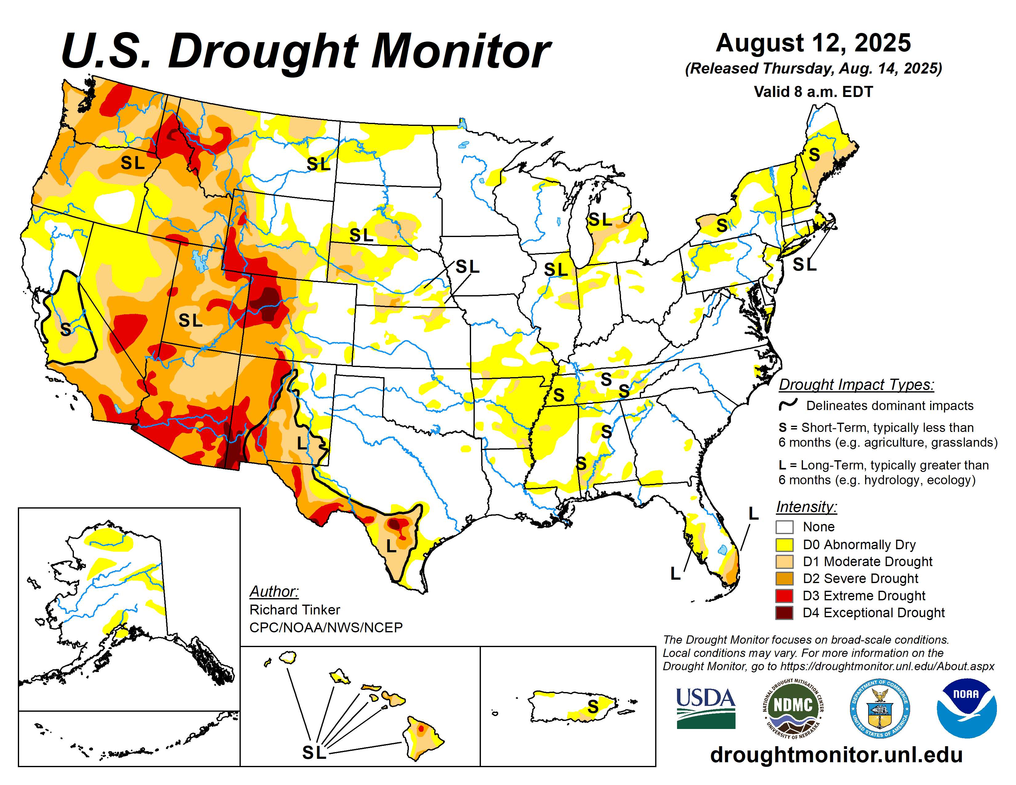
About This Product
The Drought Monitor map is produced once a week and is a collaboration between national, state, local agencies.
The data cutoff for Drought Monitor maps is each Tuesday at 8 a.m. EDT. The maps, which are based on analysis of the data, are released each Thursday at 8:30 a.m. Eastern Time. A drought summary describing the conditions used to produce the map is located at https://droughtmonitor.unl.edu/Summary.aspx .
Submit a report of drought conditions in your area at https://droughtimpacts.unl.edu/Tools/ConditionMonitoringObservations.aspx .
En Espñaol - https://droughtmonitor.unl.edu/ES/MapaActual.aspx .